Stuart Town Layout
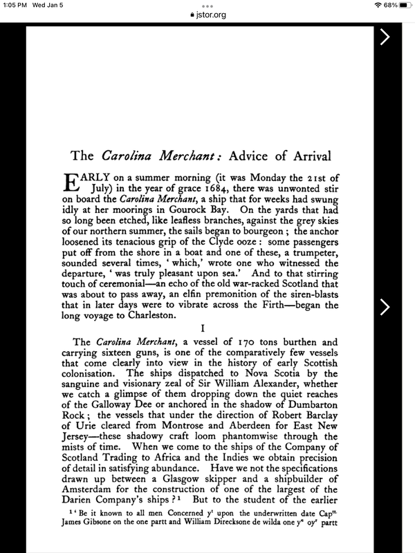
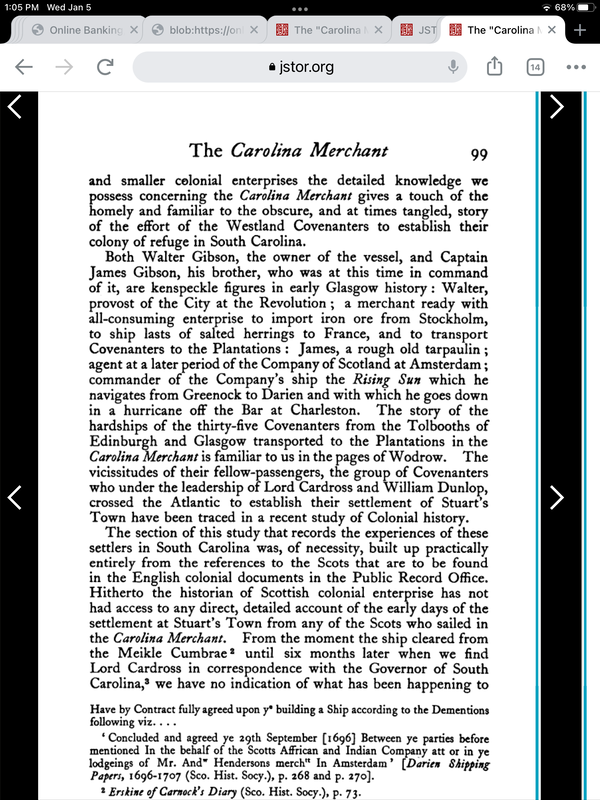
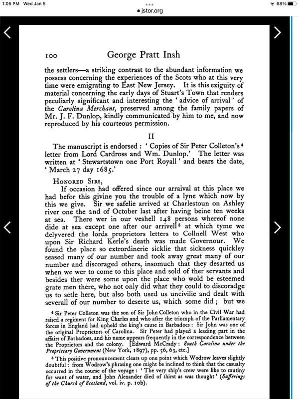
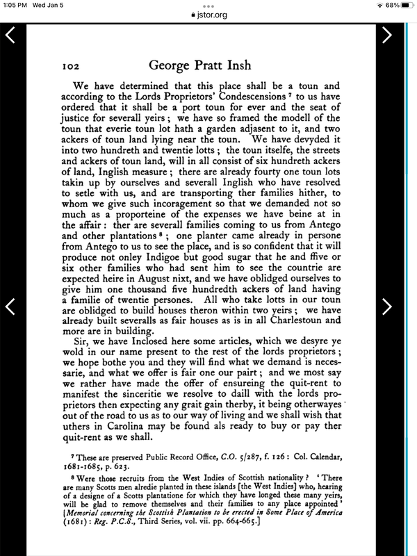
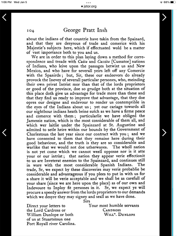
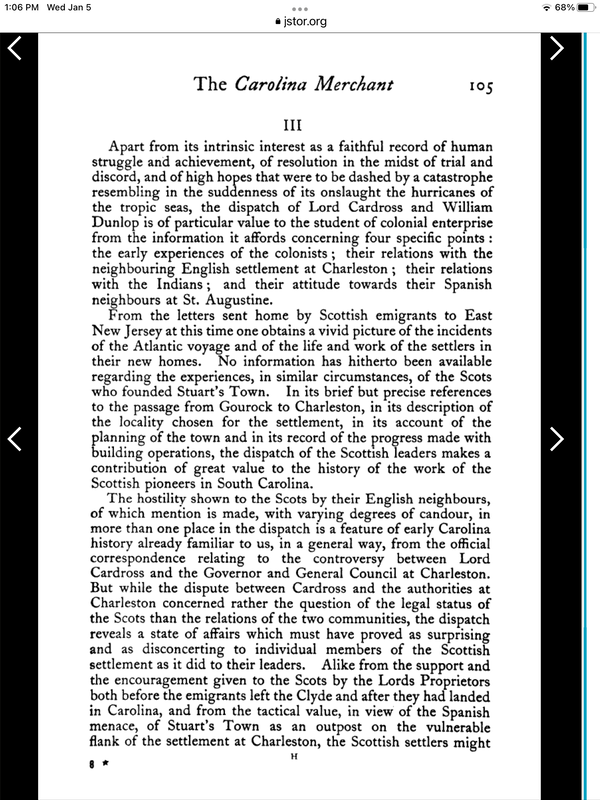
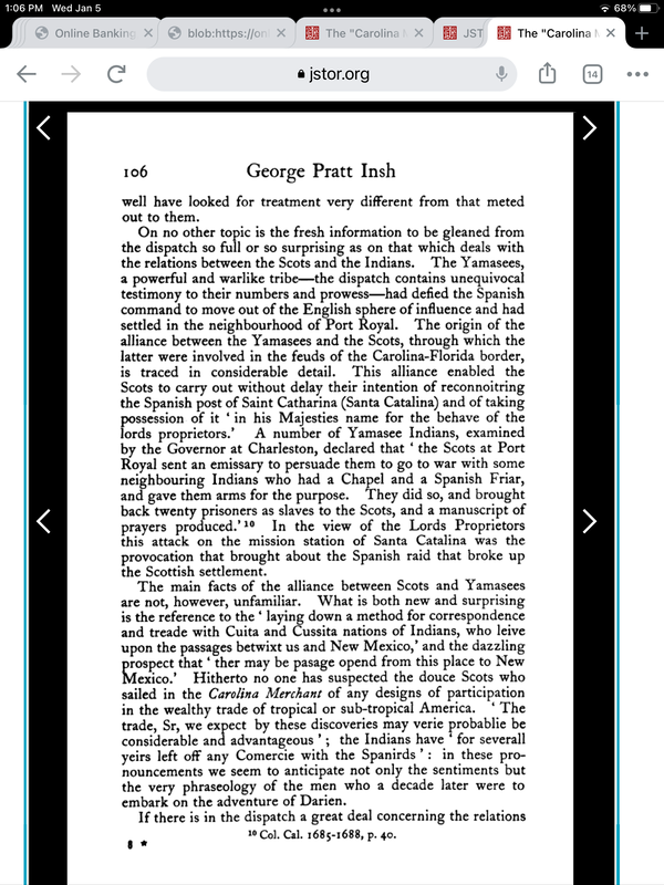
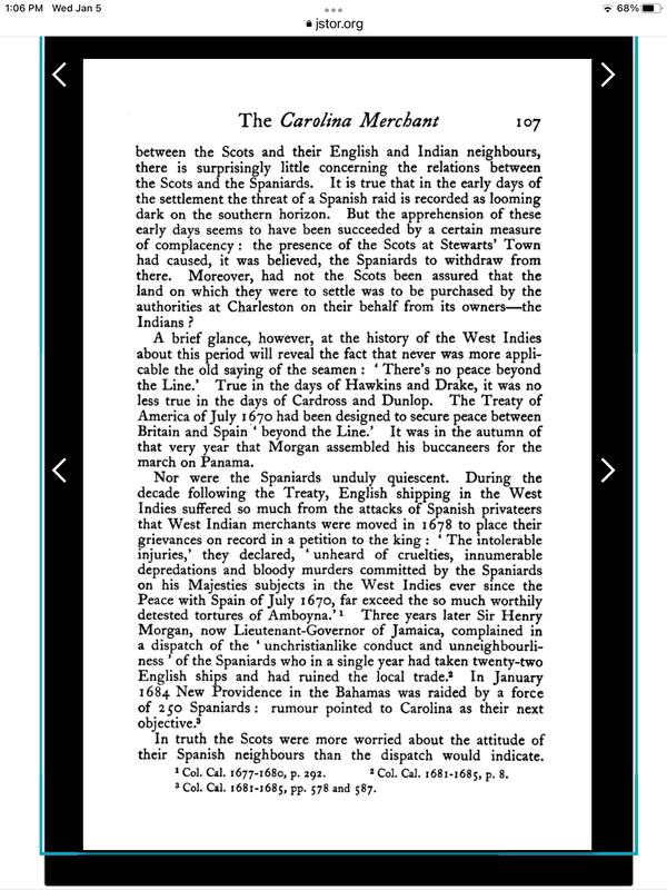
Per the article listed below, William Dunlop’s March 27, 1685 letter describes the layout of Stuart Town and that 41 of 220 town lots have been spoken for. Homes were required to be built within 2 years and several homes had been built similar to the homes in Charles Town. The lots include a garden spot and 2 more (English) acres of land outside of town. Town lots including the garden and 2 acres multiplied by the 220 lots made up 600 acres.
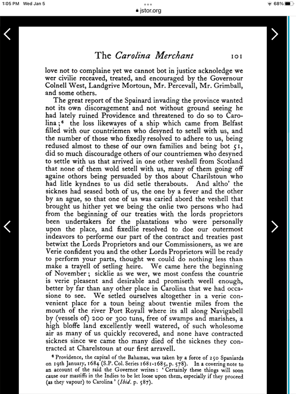
Stuart Town was located about 20 miles up river from the mouth of Port Royal at a navigation bell (for 200 or 300 ton ships) near a bluff with well water and fresh air. Maps of the river indicate 5 fathams deep at this section of the river.
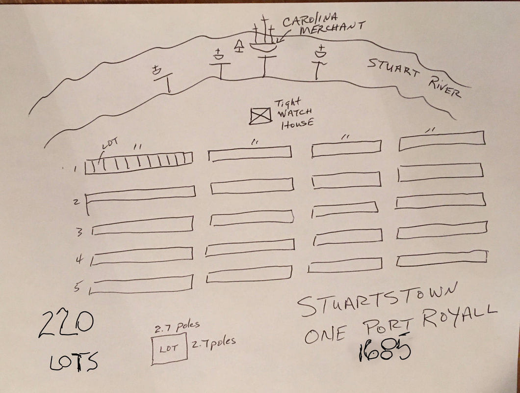
Note: 600 Acres divided by 220 lots equal 2.73 English Acre per Lot. If part of the Lot was the 2 Acres outside of town then the remaining 0.73 Acres was the Town Lot including the garden. Math: 1Acre equals 660 ft x 66ft or 43560 sq ft. 43560 sq ft x 0.73 equal 31800 sq ft. Square root of 31800 sq ft equal ~ 178 ft. ( 10.8 poles). A pole equal 16.5 ft. Therefore, each town Lot was ~ 10.8 poles x 10.8 poles. Town 220 Lots could be 44 Columns x 5 Rows ( or 5 Columns x 44 Rows) to come out evenly shaped. 44 Columns could be divided into ( 11 Lots x 4 ) making openings between every 11 Lot to cross over between the Columns.
Stuart Town was a Port Town, therefore it is more logical that the Lots were designed that most Town Lots would face the Stuart River. With 41 of the 220 Lots spoken for then with these possible Lot Arrangement all 41 would be on the front row facing the river.
Additionally, it is known a TightWatch House was built and it would most likely be at the waters edge and in the middle of the front Lots (similar to Charles Town TightWatch House layout).
Educated guess of “Stuartstown” Lot Arrangement Sketch is as follows to make up the 220 Town Lots:
F.J. Riddle, Jr.
1/9/2022

