First Fort
By Mike Stroud, February 2008
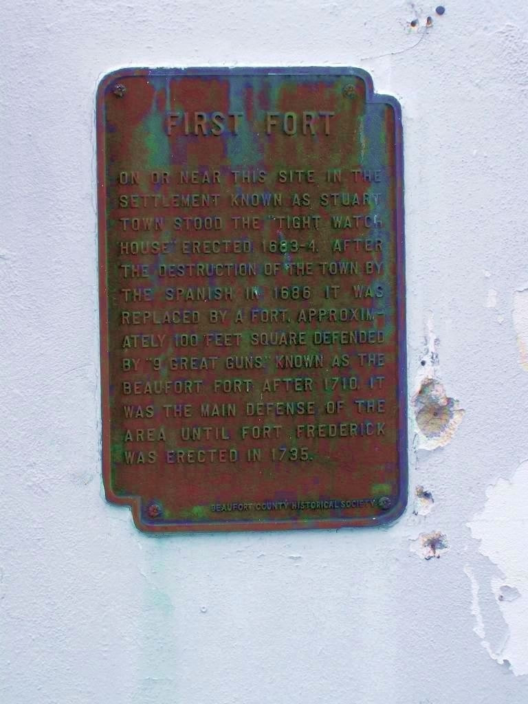
1. First Fort Marker
Inscription. On or near this site in the settlement known as Stuart Town stood the "Tight Watch House" erected in 1683-4. After the destruction of the town by the Spanish in 1686 it was replaced by a fort, approximately 100 feet square defended by "9 Great Guns" known as the Beaufort Fort after 1710. It was the main defense of the area until Fort Frederick was erected in 1735.
Erected by Beaufort County Historical Society.
Topics and series. This historical marker is listed in these topic lists: Colonial Era • Forts or Castles. In addition, it is included in the South Carolina, Beaufort County Historical Society series list.
Location. 32° 25.841′ N, 80° 40.238′ W. Marker is in Beaufort, South Carolina, in Beaufort County. Marker is on Bay Street near Scott Street, on the right when traveling east. Touch for map. Marker is at or near this postal address: 801 Bay Street, Beaufort SC 29902, United States of America.
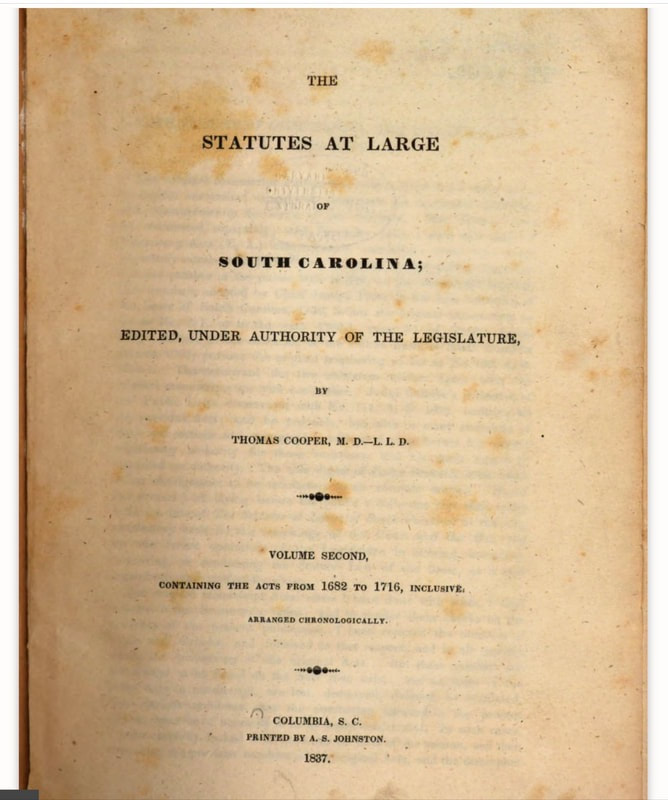
The Watch House: South Carolina’s First Police Station, 1701–17253rd paragraph…
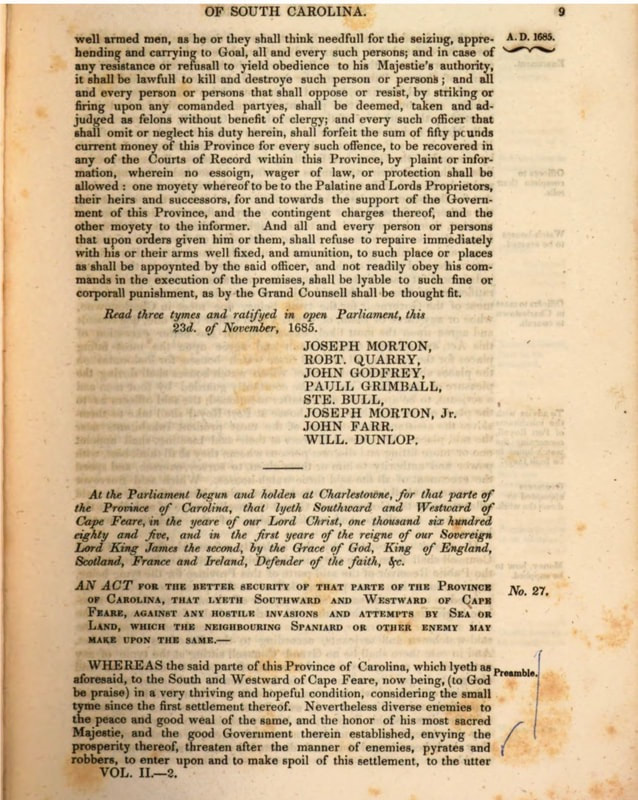
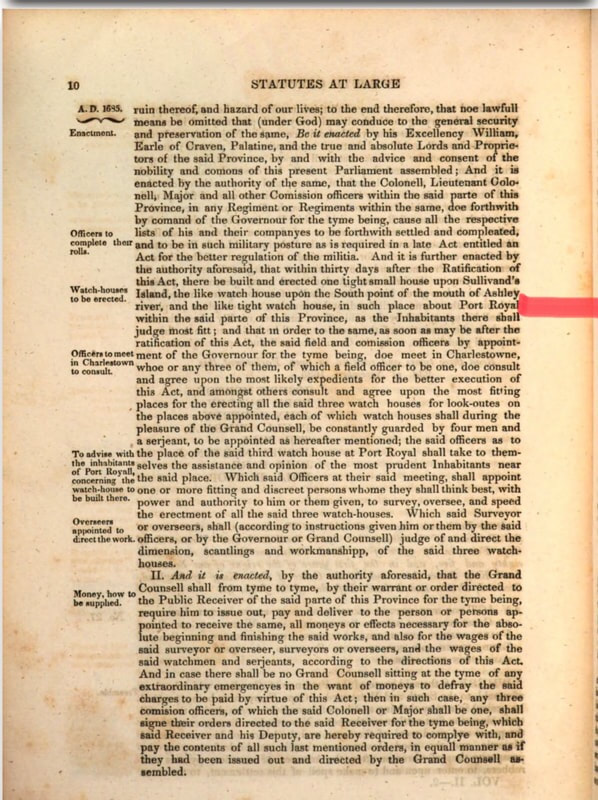
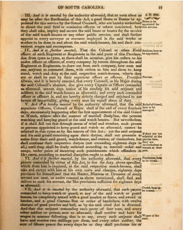
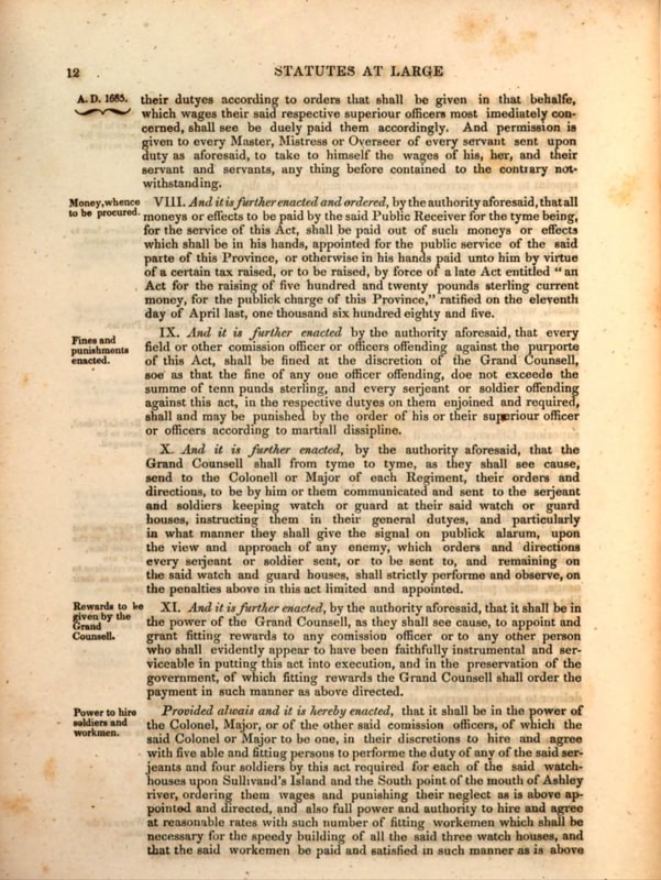
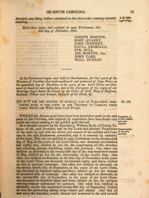
The government records of late 17th-century South Carolina contain references to the construction of several “watch houses,” at White Point, Sullivan’s Island, and Port Royal, but these were all military outposts intended to accommodate soldiers keeping watch for the advance of enemy invaders.
Below.. 3rd page more description of a Watch House in Port Royal. Red marked.
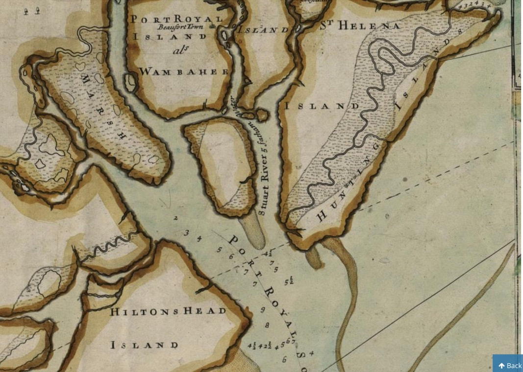
Above picture reference is:
The full title of the map is “A compleat description of thef province of Carolina in 3 parts: 1st, the improved part from the surveys of Maurice Mathews & Mr. John Love: 2ly, the west part by Capt. Tho. Nairn: 3ly, a chart of the coast from Virginia to Cape Florida. Published by Edward Crisp; engraved by John Harris.” A high-resolution scan of this “Crisp Map” can be found on the website of the Library of Congress. Note that the James Akin’s 1809 version of the “Crisp Map,” published with David Ramsay’s History of South Carolina (1809), depicts the Charleston Watch House with greater detail, but this detail was the product of Akin’s imagination. Think that Stuart Town’s Tight Watch House must have be similar.
The full title of the map is “A compleat description of thef province of Carolina in 3 parts: 1st, the improved part from the surveys of Maurice Mathews & Mr. John Love: 2ly, the west part by Capt. Tho. Nairn: 3ly, a chart of the coast from Virginia to Cape Florida. Published by Edward Crisp; engraved by John Harris.” A high-resolution scan of this “Crisp Map” can be found on the website of the Library of Congress. Note that the James Akin’s 1809 version of the “Crisp Map,” published with David Ramsay’s History of South Carolina (1809), depicts the Charleston Watch House with greater detail, but this detail was the product of Akin’s imagination. Think that Stuart Town’s Tight Watch House must have be similar.
